













































Child:
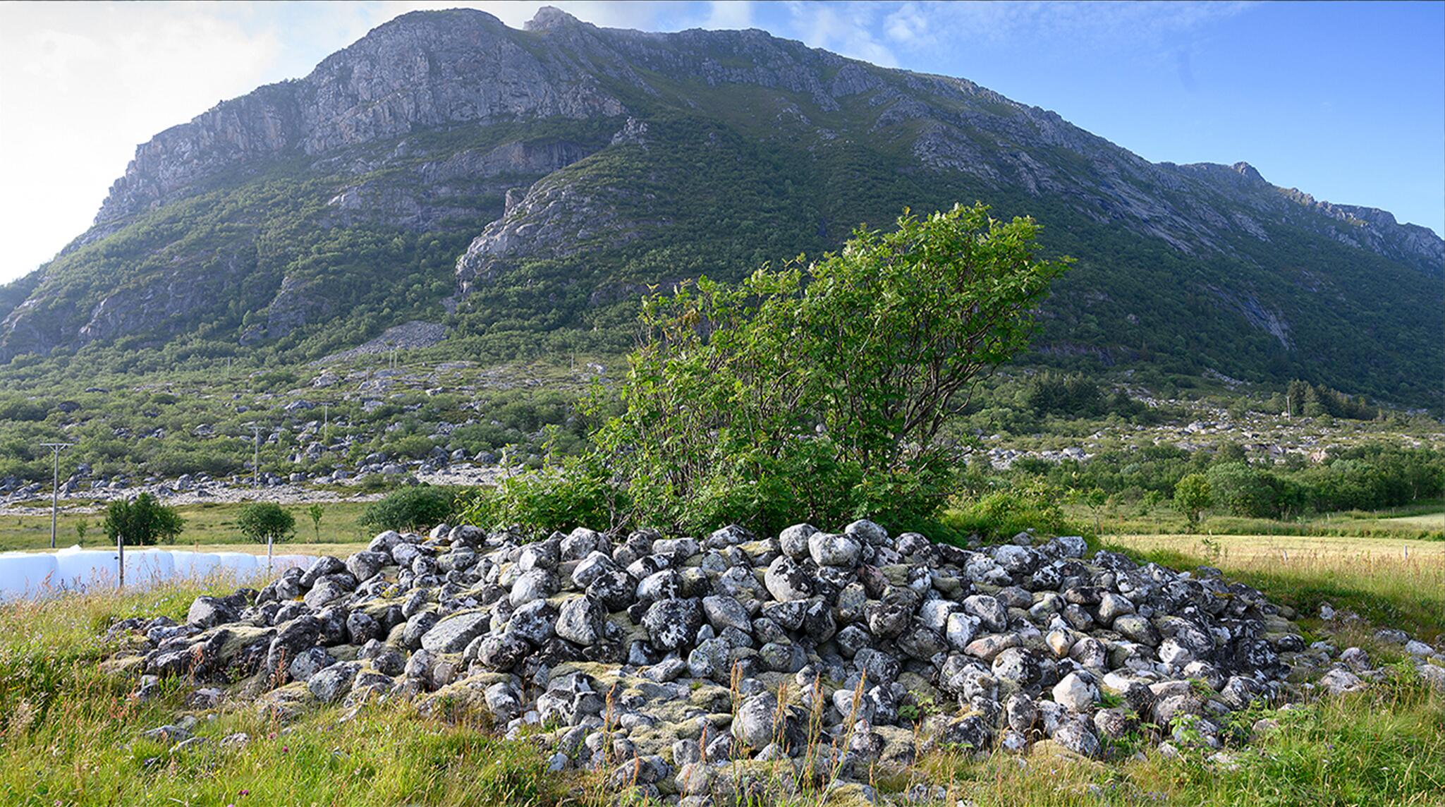
Are you talking about that rock pile on the side of the road?
Grandma:
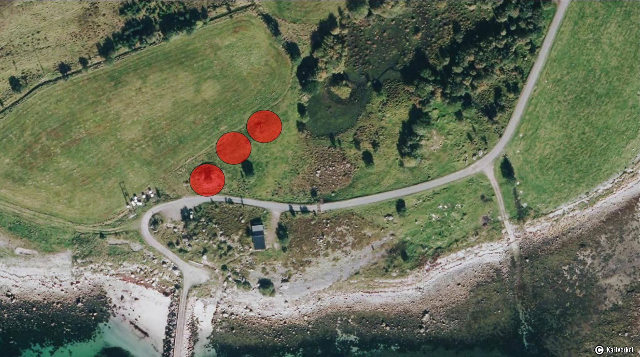
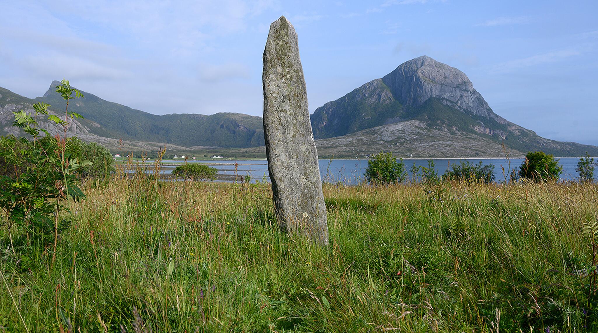
Yes, that one is probably the easiest to see, but you should be able to see 2 more behind it. Do you see the long stone standing on a ridge a few tens of meters northeast of the burial mound? It`s erected on one of the other burial mounds.
Child:
It was a funny loooking stone.
Grandma:
It is a bautastein, or a menhir. In the Iron Age, these stones had the function of marking something important. In Heimskringla written by Snorre Sturlason, we learn that it was customary to burn the dead and erect a memorial stone after them.
They are rather crudely made and have no text, but in some cases inscribed pictures have been found. Stones with runes carved into them have also been found. Runes are an old written language that was used here during the Iron Age. These stones with runes are often called rune stones or memorial stones.
Child:
You grandma. Something has been scratched into the stones. It says A.O. 1944. Is it a memorial stone?
Grandma:
No. This stone was discovered during farmwork with the soil here in 1944, and was placed on this burial mound by the man who found it. It is thus erected in a random place. So these are probably his initials. But you mustn't try to do that. It is strictly forbidden and you can actually be put in jail for doing so. This is a cultural monument, and we must protect it.
Child:
Cultural monument? What is that?
Grandma:
They are traces and signs in nature of people who lived before us. They tell us about how people lived and what they thought was important. With their help, you can see the history in the landscape. We must protect them for those who come after us. With them history becomes more then words on sheets of paper, it becomes real.
Child:
I have heard that treasures were often buried in the Burial Mounds. Do you think there is something here?
Grandma:
All 3 were excavated in 1905 by a man named Nicolaissen. In the burial mound with the menhir, nothing was found. And in the burial mound furthest to the west, he found only a few bones, but he specifies that the burial mound was not untouched.
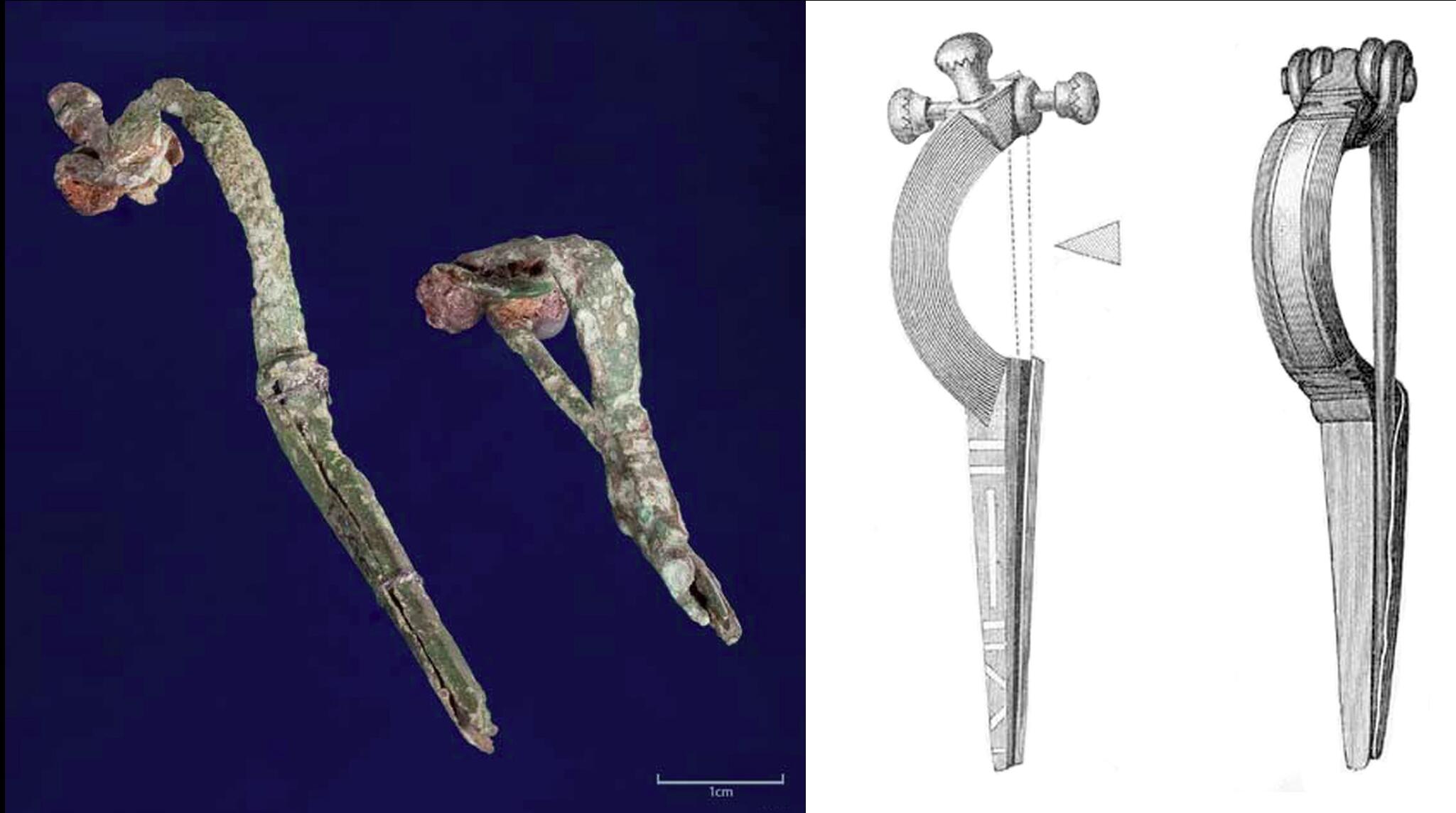
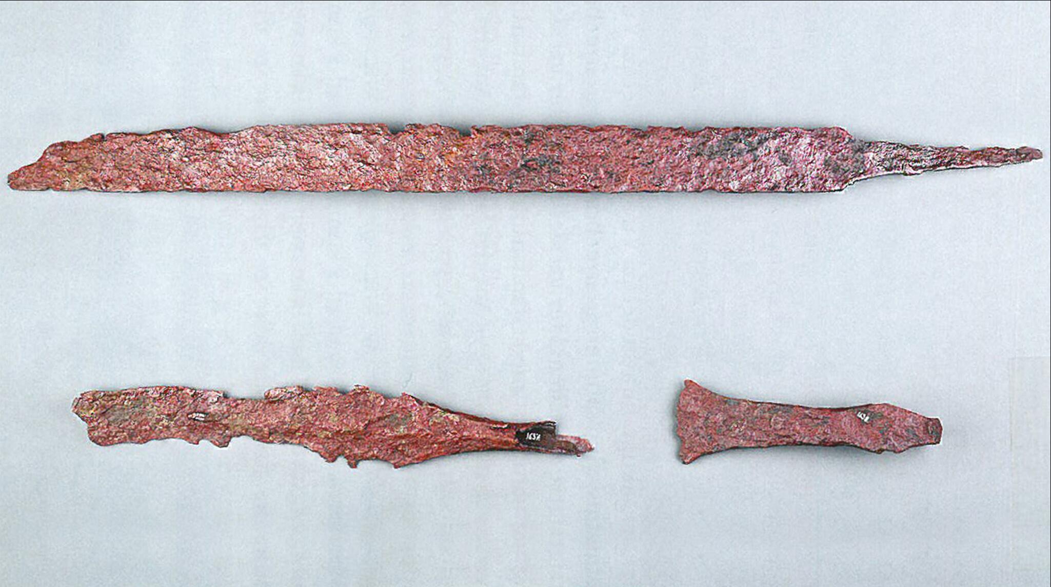
Between the 2 burial mounds, there is a small elevation which is in reality the 3. burial mound. In this, a small pit was found, where there were fragments of a sword, a spear, a shard of clay and 2 small bronze buckles.
Child:
Bronze buckles?
Grandma:
It was a kind of large safety pin that they used to hold clothes and cloaks in place.
Buckles that were found were often not whole. On an information board down by the road, you can see a picture of what we think they looked like. These are drawn on the basis of information from many different sources, descriptions, pictures and similar buckles that have rusted in a different way.
Child:
Why did they put the burial mounds right here?
Grandma:
The location of the burial mounds was also very important. At the time Norway was fare from the peaceful place we know today. It was a time of great political unrest and people were constantly exposed to attacks from the outside.
At the time Øysund was at its most powerful, Norway had still not been united into one kingdom. For protection it was customary to submit to a chief.
Eventually Norway was divider into several smaller chiefdoms. A large burial mound meant that a powerful chief resided in the area. It would act as a deterrent to those who wanted to invade and alluring for those who wanted to trade. Thus, the burial mounds were often placed along the coastline where people traveled.
Subject text: Helge Seim og Gøril Pedersen
Screenplay: Helge Seim og Jan Ivar Bårtvedt
Voices: Astrid Margareth Sollie og Lean Iversen Hansen
Editing: Helge seim
Music and Soundeffect: freesound.org
Source: